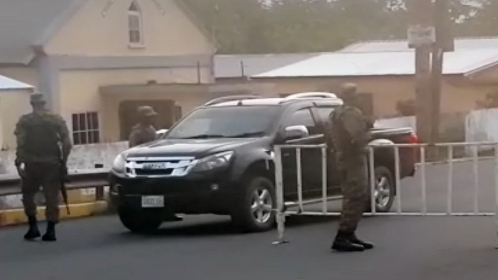
Two additional communities within St Thomas have been placed under quarantine due to the continued increase in COVID-19 cases in the parish.
The communities are Albion and Seaforth that have collectively seen 13 cases recorded over the last three weeks.
Many of the cases are symptomatic, which is a cause for concern for health officials, and a factor that suggests that there may be ongoing transmission in the communities.
Community surveillance is to be carried out over the next two weeks to detect from early, any new cases, and to implement measures to contain the spread of the virus within the parish.
The quarantine period, which began at 5 am on Thursday, August 20, is to run for 14 days, ending September on 2.
The other quarantined communities in the parish — Bamboo River, Church Corner and Lower Summit — are to remain under restriction until September 2.
Some 107 persons have so far tested positive for the coronavirus in St Thomas, according to the Ministry of Health and Wellness. Forty-five of these cases are within the quarantined areas.
The ministry is reminding members of the public to strictly adhere to the prescribed COVID-19 prevention and control measures, including the frequent washing of hands, maintaining six-foot physical distance from others, and wearing a mask while out in public.
It is also critical that visitors and returning residents to the island abide by quarantine orders, to slow the transmission of the virus that causes COVID-19, the ministry said.
ALBION QUARANTINE AREA:
The area of interest spans approximately 2.2 sq. km and is bounded by a 6.0 km perimeter.
NORTH
The boundary will start at the intersection of the Grants Pen to Albion Road and the Albion to Easington Road, then extend south-easterly for approximately 1.13 km along the Grants Pen to Yallahs Road.
EAST
The boundary will continue in a south-westerly direction along an imaginary line to where it meets the coast.
SOUTH
The boundary will continue in a north-westerly direction along the coast to the vicinity of West Marine Drive.
WEST
The boundary will continue in a north-easterly direction along the West Marine Drive then along a reserved road to the intersection with the Grants Pen to Albion Road.
SEAFORTH QUARANTINE AREA:
The area of interest spans approximately 6.2 sq. km and is bounded by a 13.6 km perimeter.
NORTH
The boundary will start at the intersection of the Seaforth to Serge Island Road and the Morant River Bridge to Sunning Hill Road, then extends north-easterly for approximately 1.44 km to its intersection with Whitehall Road.
EAST
The boundary will continue in a south-easterly direction along Whitehall Road and then onto the Soho to Middleton Road, then on to the Middleton to Stony Gut Road, then in a south-westerly direction for approximately 0.8 km along a river, and then south-easterly for approximately 1 km to where it intersects with Complex Road.
SOUTH
The boundary will continue in a south-westerly direction along Complex Road and then to the south of the York Sports Complex, then continuing to the Negro River.
WEST
The boundary will continue in a north-westerly direction along the Negro River and then along the Morant River to where it intersects with the Seaforth to Serge Island Road and the Morant River Bridge to Sunning Hill Road.


